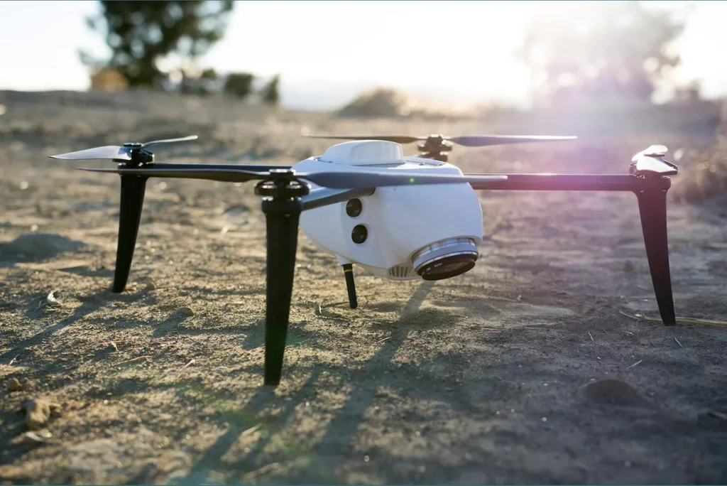
Drones are becoming increasingly efficient, accessible, and affordable. A wide range of industries are adopting these helpful unmanned aerial vehicles (UAVs) into their workflows to develop new efficiencies. They’re changing how businesses operate by saving time, reducing costs, improving safety—overall, they offer a direct ROI. But if you’re a professional in the surveying industry, how can a drone and drone survey software help your business?
A drone, along with an drone data processing platform like Propeller Aero, can have a big impact on your business and its overall bottom line. Read on to get to know how drones can keep your surveying business competitive.
Simple and legal
Drones are more accessible than ever before, as governments around the world aim to make it easier for potential commercial drone pilots to get certified. They’re also making the entire survey process faster and more affordable—you can fly a site in less than an hour and, with Propeller’s data processing solution, accurate survey data and 3D renderings can be at your fingertips within 24 hours.
If your practice includes surveying for land development projects, drone data is very useful from early design and planning stages to progress tracking and final as-builts. Surveying for civil projects is easier, faster, and safer when done by drone. Drone-captured data, along with ground control data from ground control points like Propeller’s AeroPoints, offers an affordable and accurate way to make digital terrain models and site maps compared to traditional, time-consuming methods.
Streamline data collection
In any business, time is money, and if you want to take on more projects and generate more revenue, you’re going to need the help of a drone. Traditional surveying is time-consuming, especially when you’re working on large projects. Drones can quickly and accurately scan and collect data—you can fly even large sites in less than an hour. With Propeller’s quick data processing, you have access to 3D maps and renderings in a matter of hours, rather than days. With faster turnaround, your business can make quick work of even the largest projects, providing an instant return on your drone survey program investment.
Improve safety
Surveying can be a dangerous job, depending on the types of sites you and your team typically examine. If you’re surveying undeveloped land or land that’s used for industrial purposes, it might not be practical to traverse the area on foot. Challenges like overgrowth, difficult terrain, and water can make your job unsafe. When you incorporate drones into your surveying practice, you can get the accurate data you need—and you can even survey hard-to-reach locations—without putting you or your team at risk.
Enhanced sharing
When you take your survey operations digital, you add an extra layer of convenience to the entire process for your clients. How? By streamlining collaboration. All the information you collect with your drone and ground control points can be instantly uploaded to Propeller’s server, where it’s then transformed into accurate, useful 3D maps and renderings. Propeller is cloud-based, which means that authorized individuals can access this data anywhere in the world. Clients appreciate this streamlined approach to survey delivery, and it saves time, too.
Improved accuracy
Drone survey data is reliable and accurate, especially when you use Propeller’s PPK workflow. You’ll fly an RTK-enabled drone to collect aerial data, while ground control points verify coordinates of the images collected in flight. The result of this combination is drone data that’s incredibly accurate—often down to a fraction of an inch. Your surveying practice relies on exceptional accuracy, and drones deliver, every time.
Offer more services
What type of surveying does your business primarily do? If your day-to-day work includes settling property disputes, drawing boundary surveys, or creating site plans—and you’d like to offer more specialized services—surveying with drones is the answer. Data gathered through photogrammetry allows you to create topographic surveys, elevation information regarding flood hazards, and plot plans for construction sites. By expanding your services, you can work with construction firms, agricultural companies, and even the energy sector—all industries that rely on the help of experienced surveyors.
The right drone data processing platform makes the difference
As a professional in the surveying industry, you already know that your day-to-day job has the potential to be both difficult and hazardous. Incorporating drone surveying into your practice can save you time, reduce your costs, and can lower the risk of danger for you and your team.
When it comes to integrating drones into your surveying practice, you need to invest in the right drone, but even more importantly, you need to invest in the right drone data processing platform. Propeller Aero’s cloud-based, processing solution transforms data collected in flight into accurate, useful surveys you can share with your clients in record time, providing a direct return on investment for your next project.
For more articles visit this website.


